Submit an Offer Now!
14th Street , LEESBURG, FL 34748
Property Photos
Priced at Only: $1,100,000
For more Information Call:
(352) 279-4408
Address: 14th Street , LEESBURG, FL 34748
Property Location and Similar Properties
- MLS#: O6259704 ( Land )
- Street Address: 14th Street
- Viewed: 1
- Price: $1,100,000
- Price sqft: $0
- Waterfront: No
- Year Built: Not Available
- Bldg sqft: 0
- Days On Market: 4
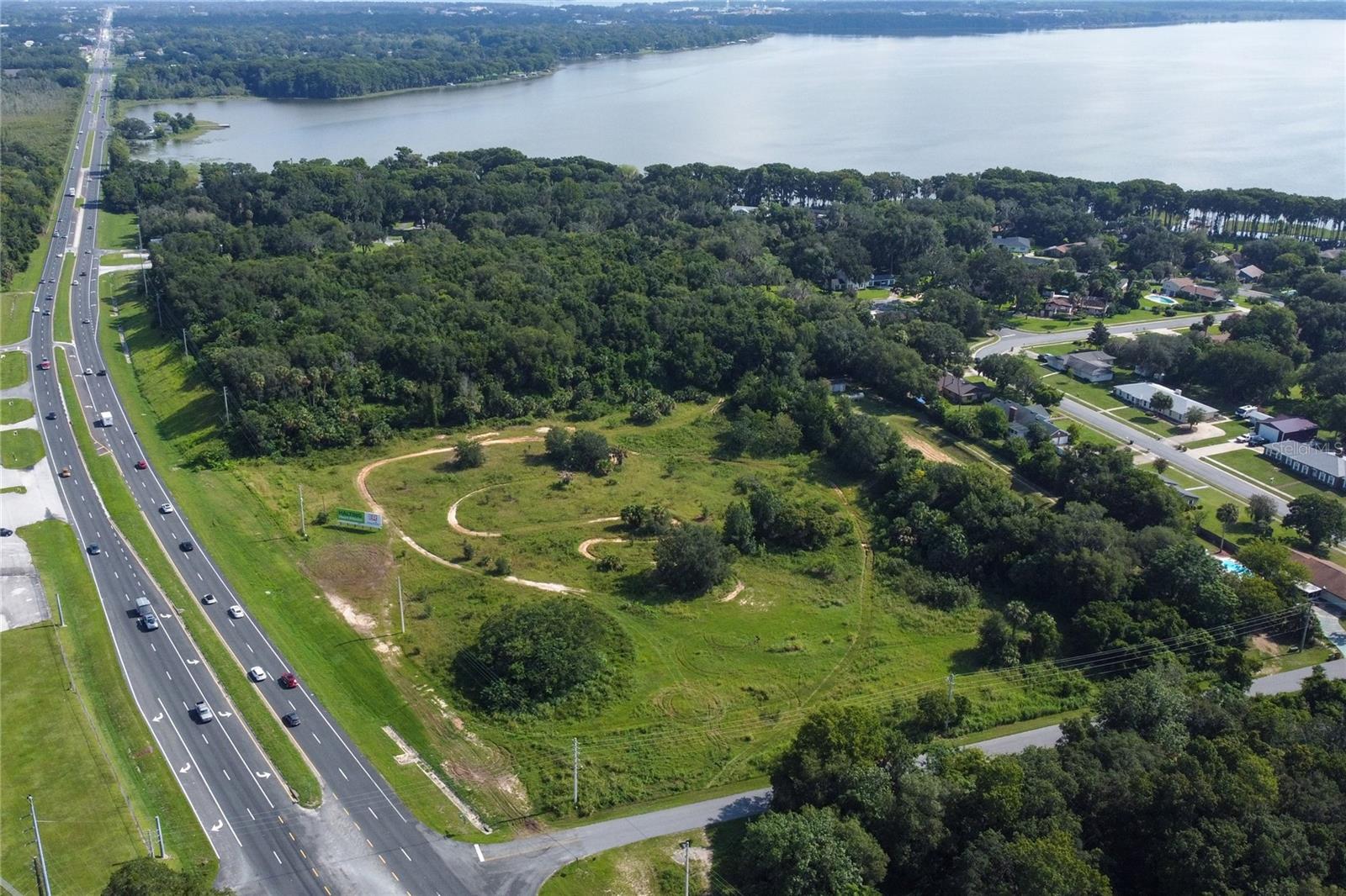
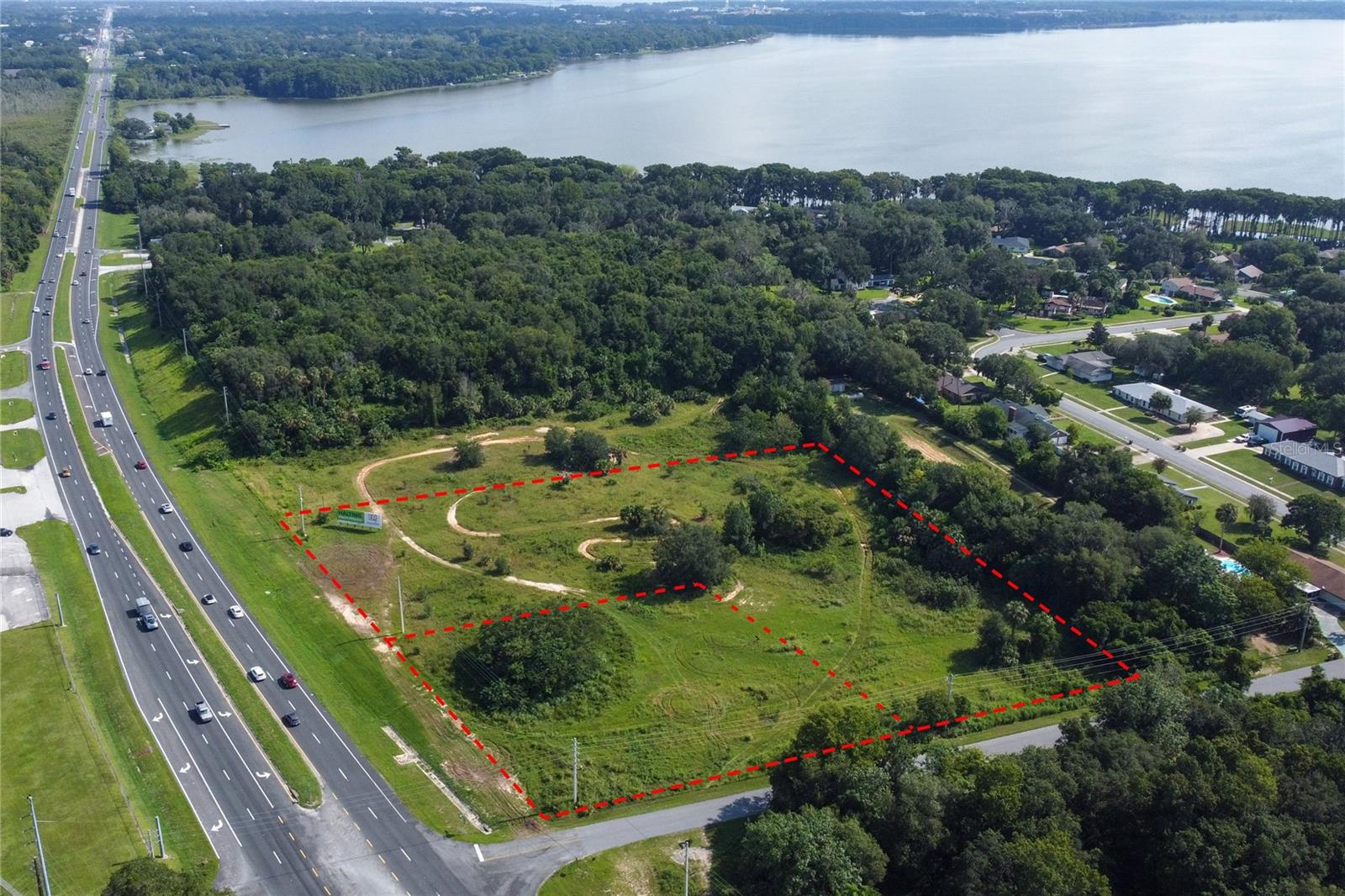
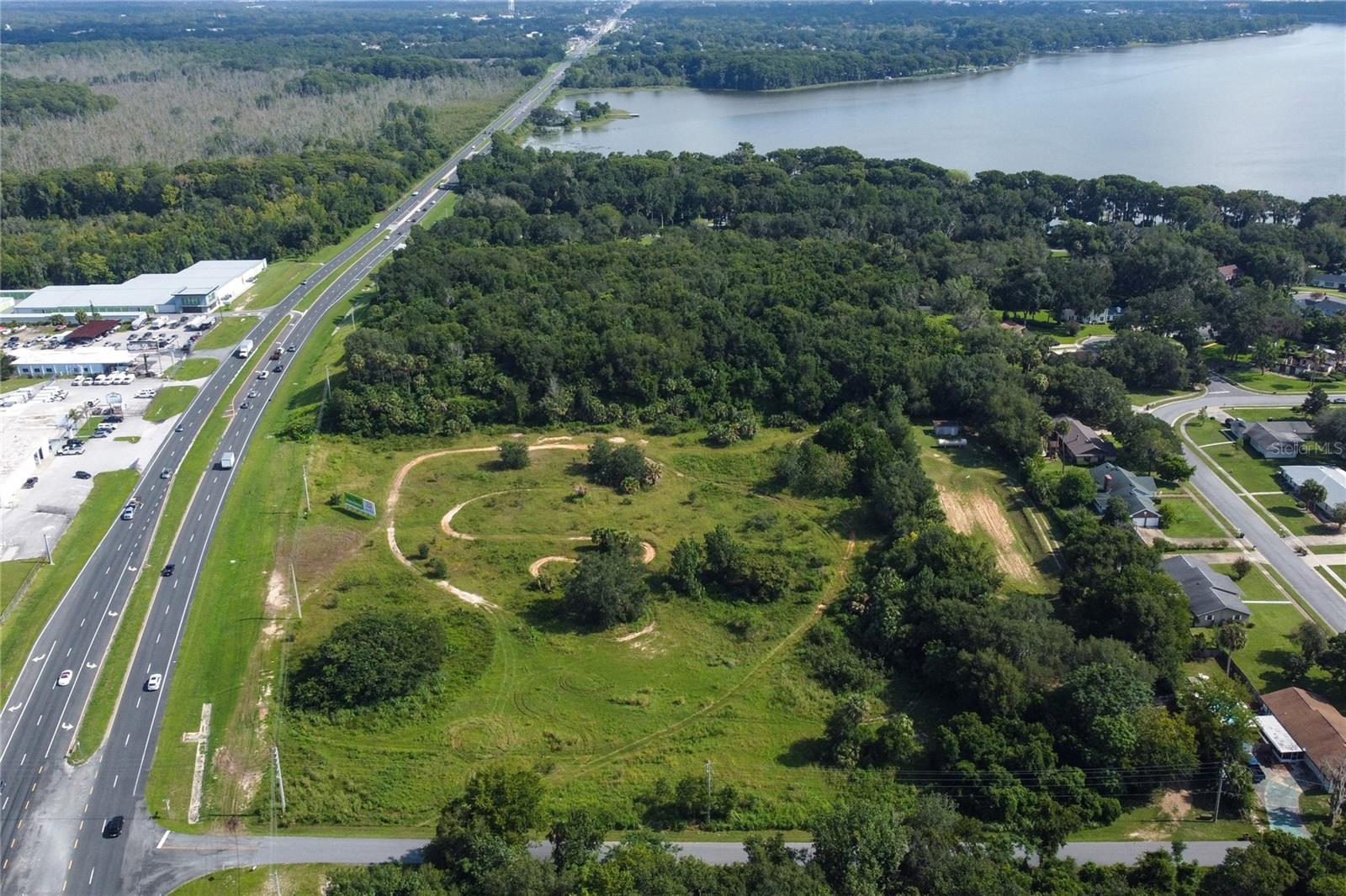
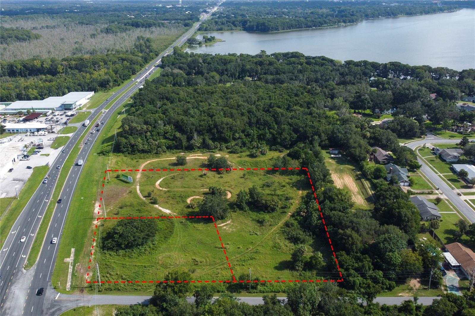
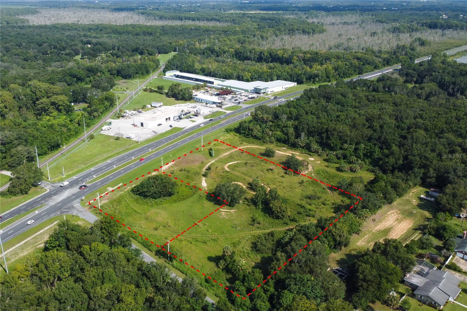
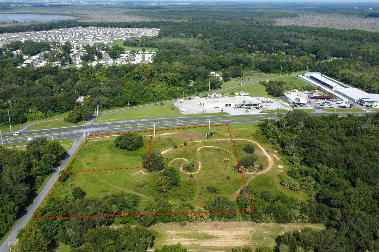
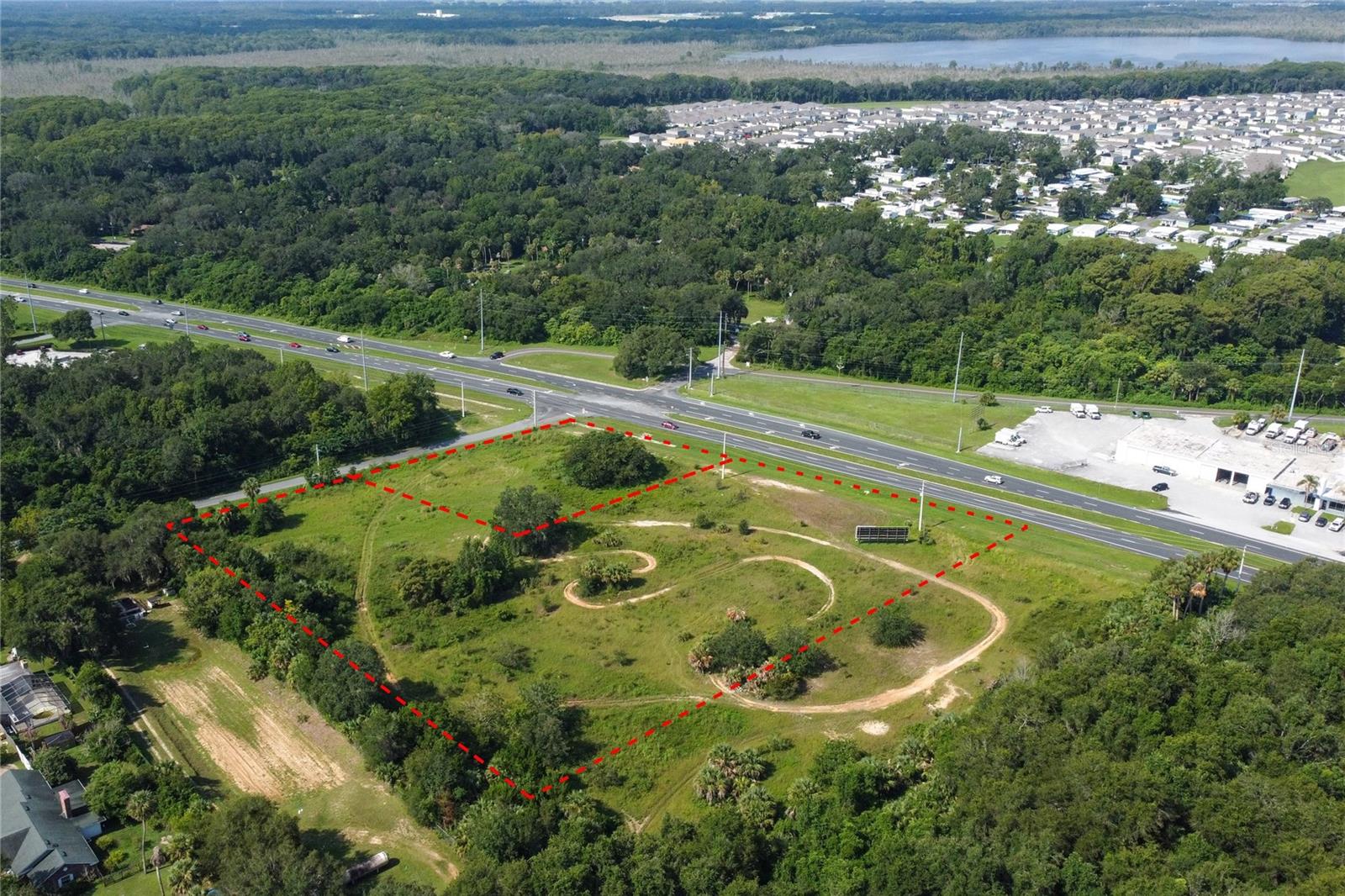
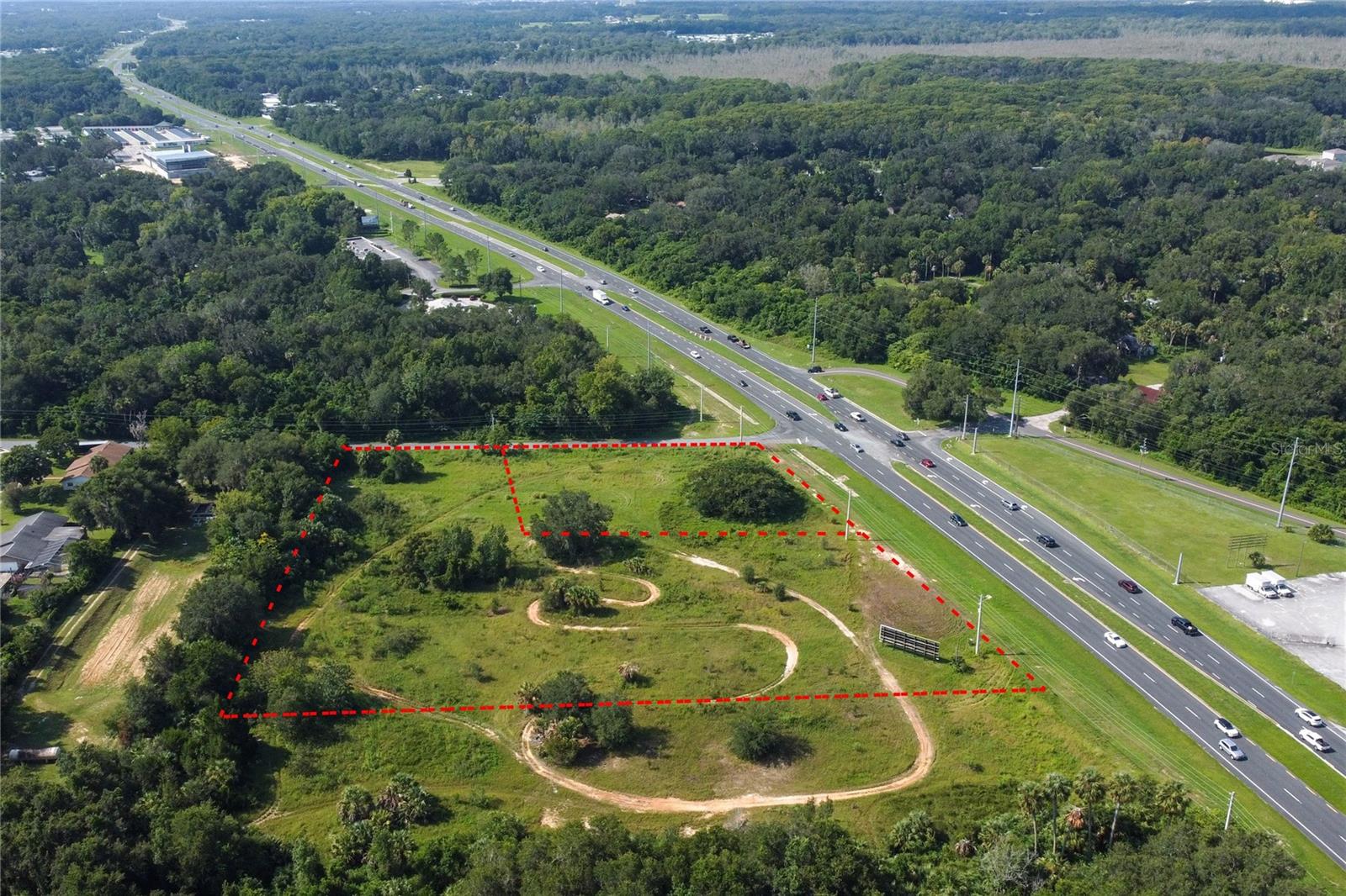
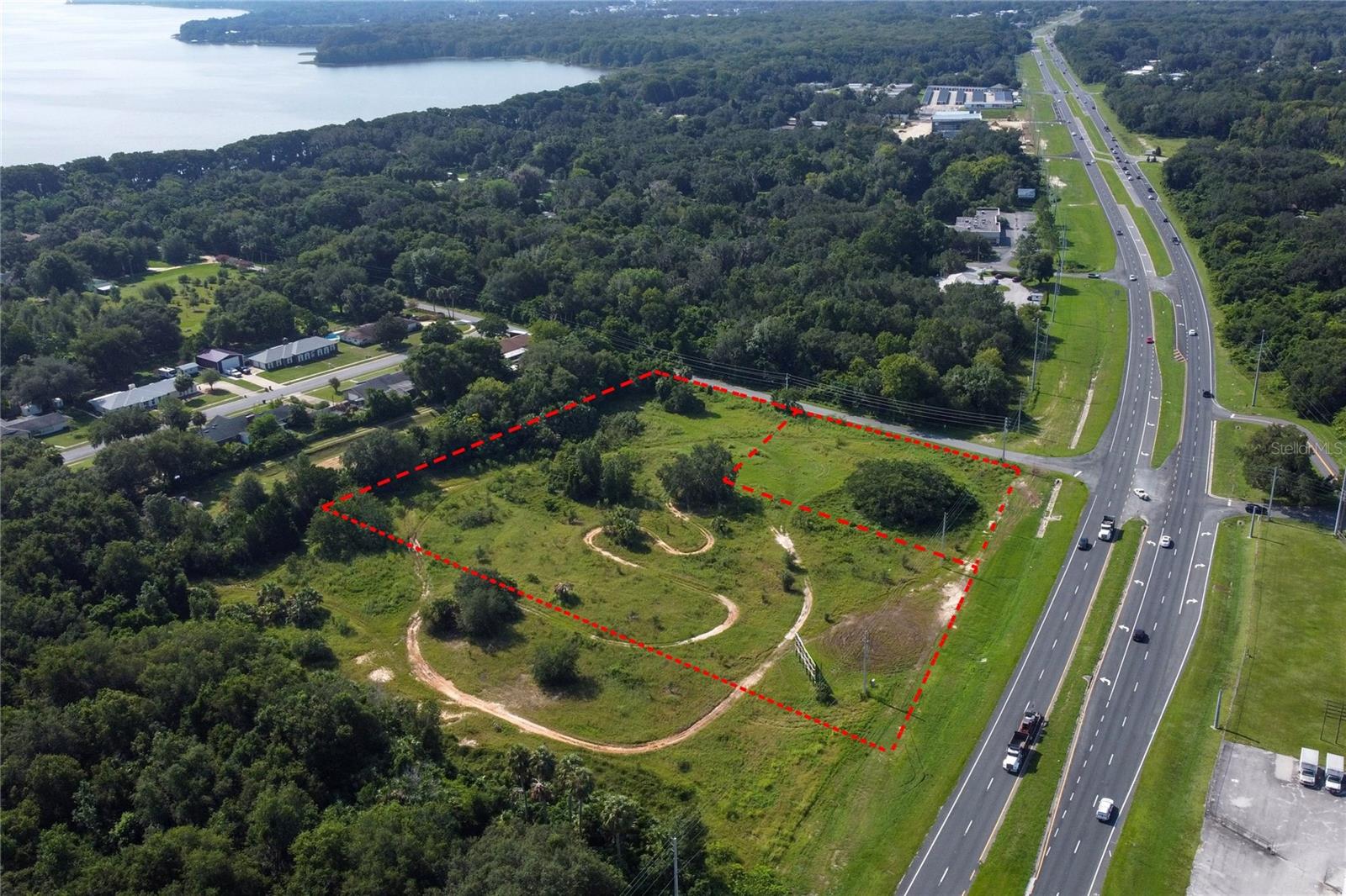
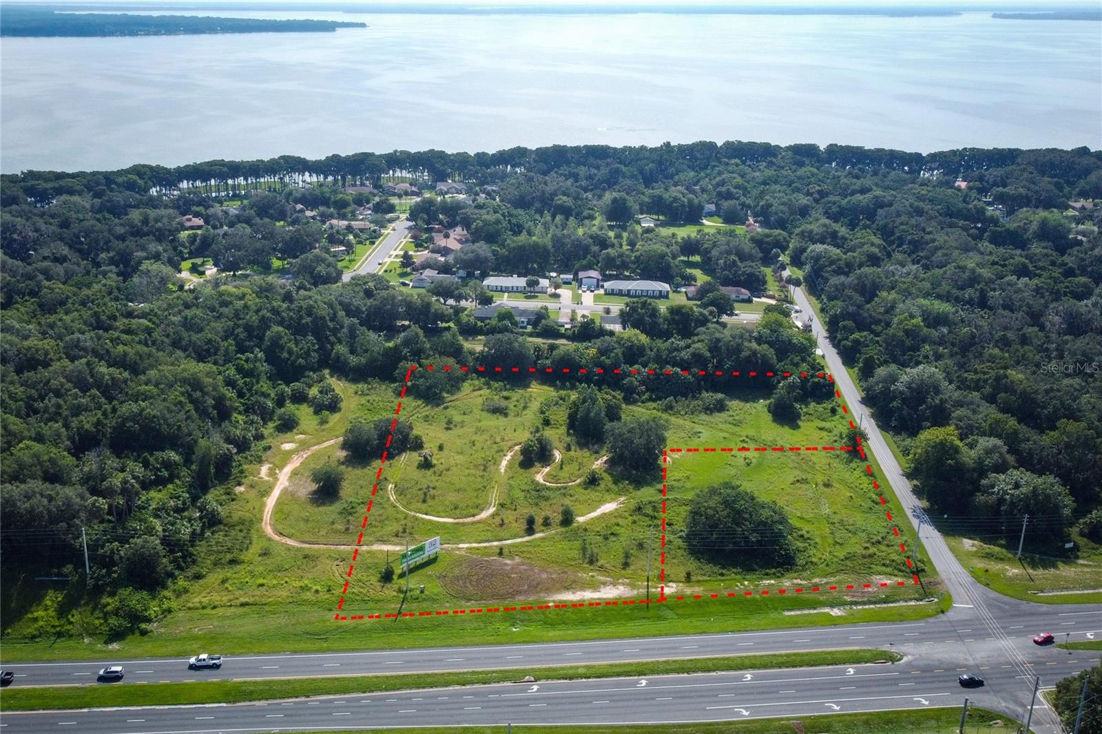
- Acreage: 4.18 acres
- Additional Information
- Geolocation: 28.8087 / -81.8876
- County: LAKE
- City: LEESBURG
- Zipcode: 34748
- Provided by: SAND DOLLAR REALTY GROUP INC
- Contact: Robert Arnold, Jr
- 407-389-7318
- DMCA Notice
-
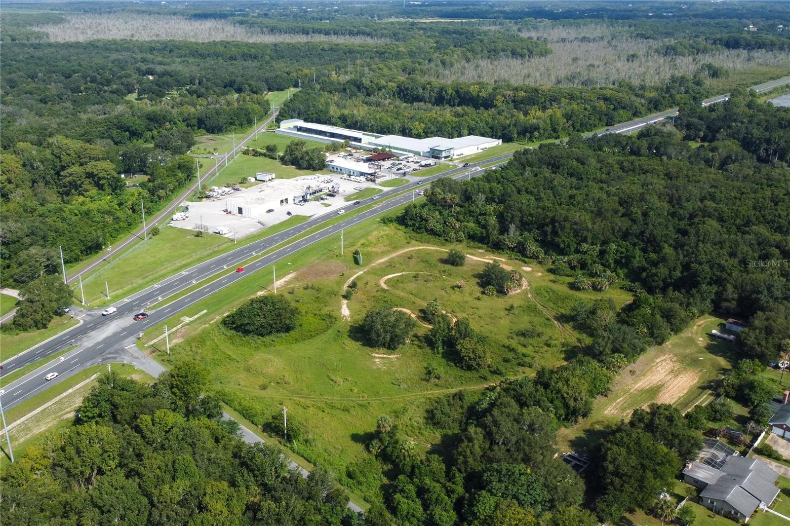
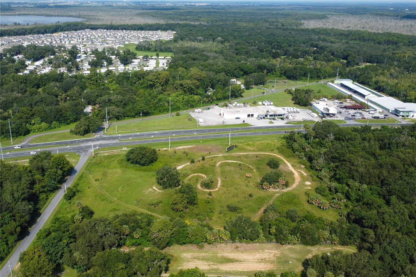
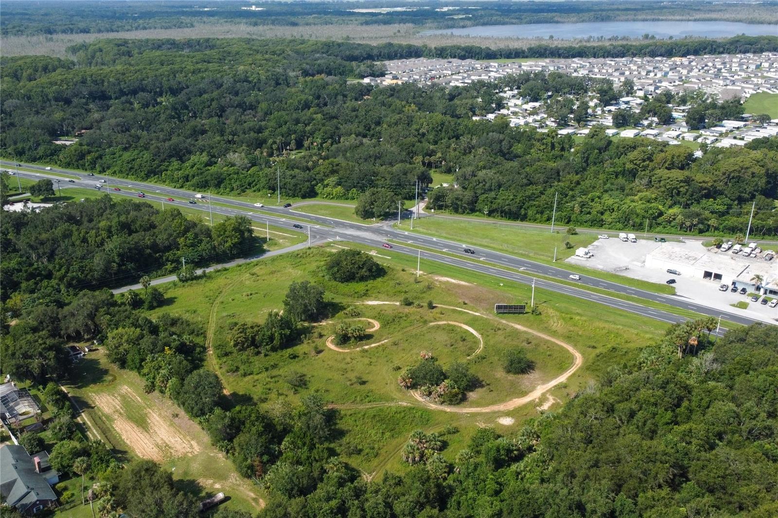
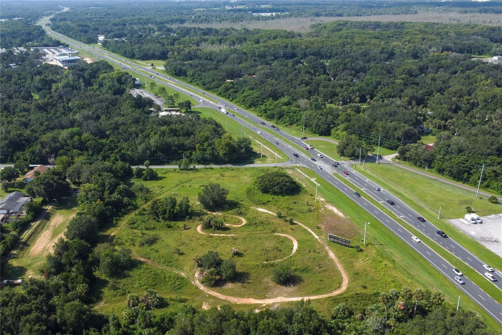
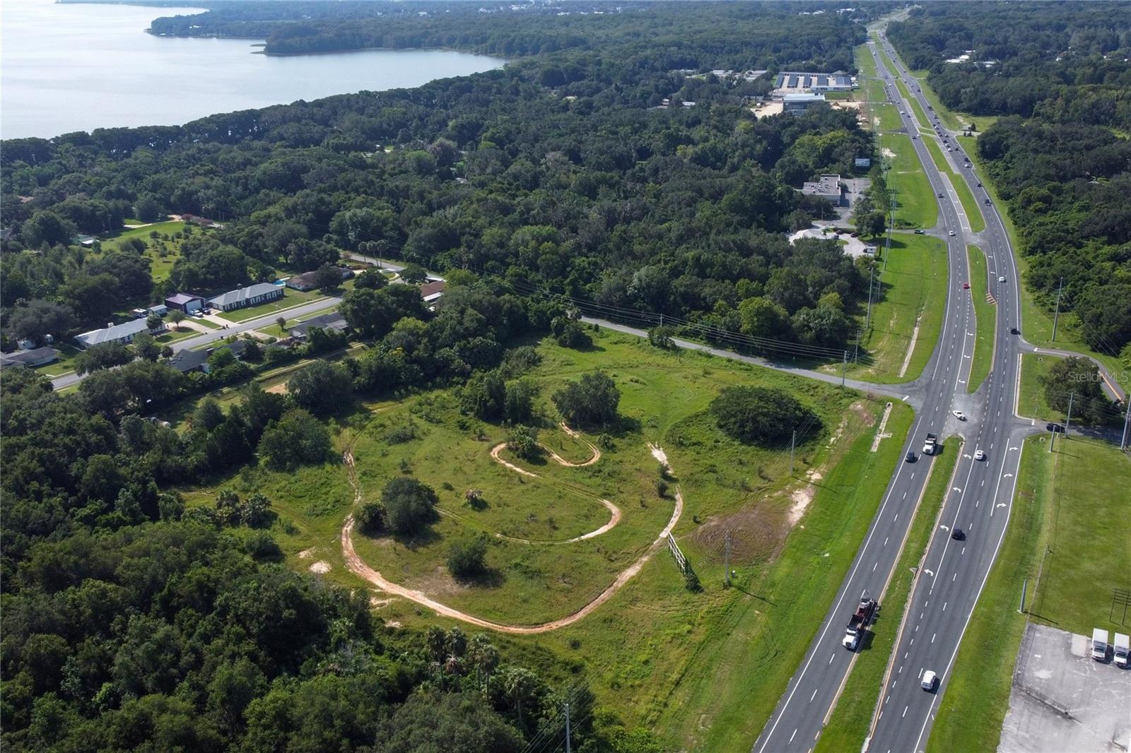
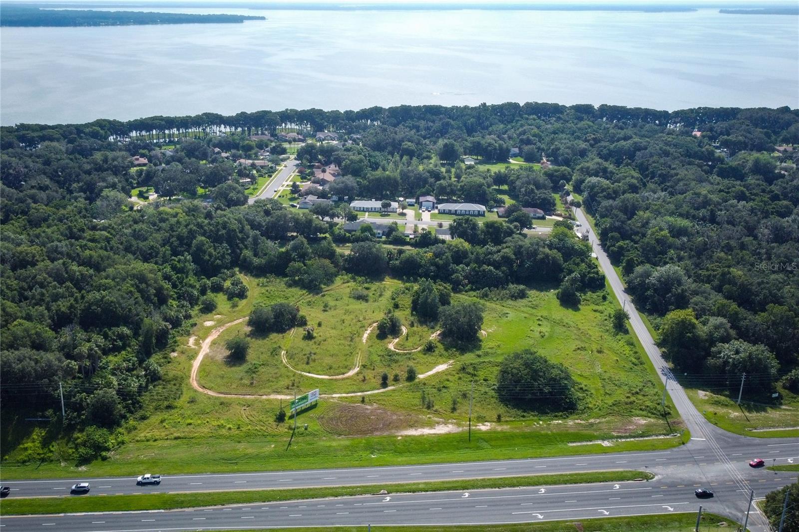
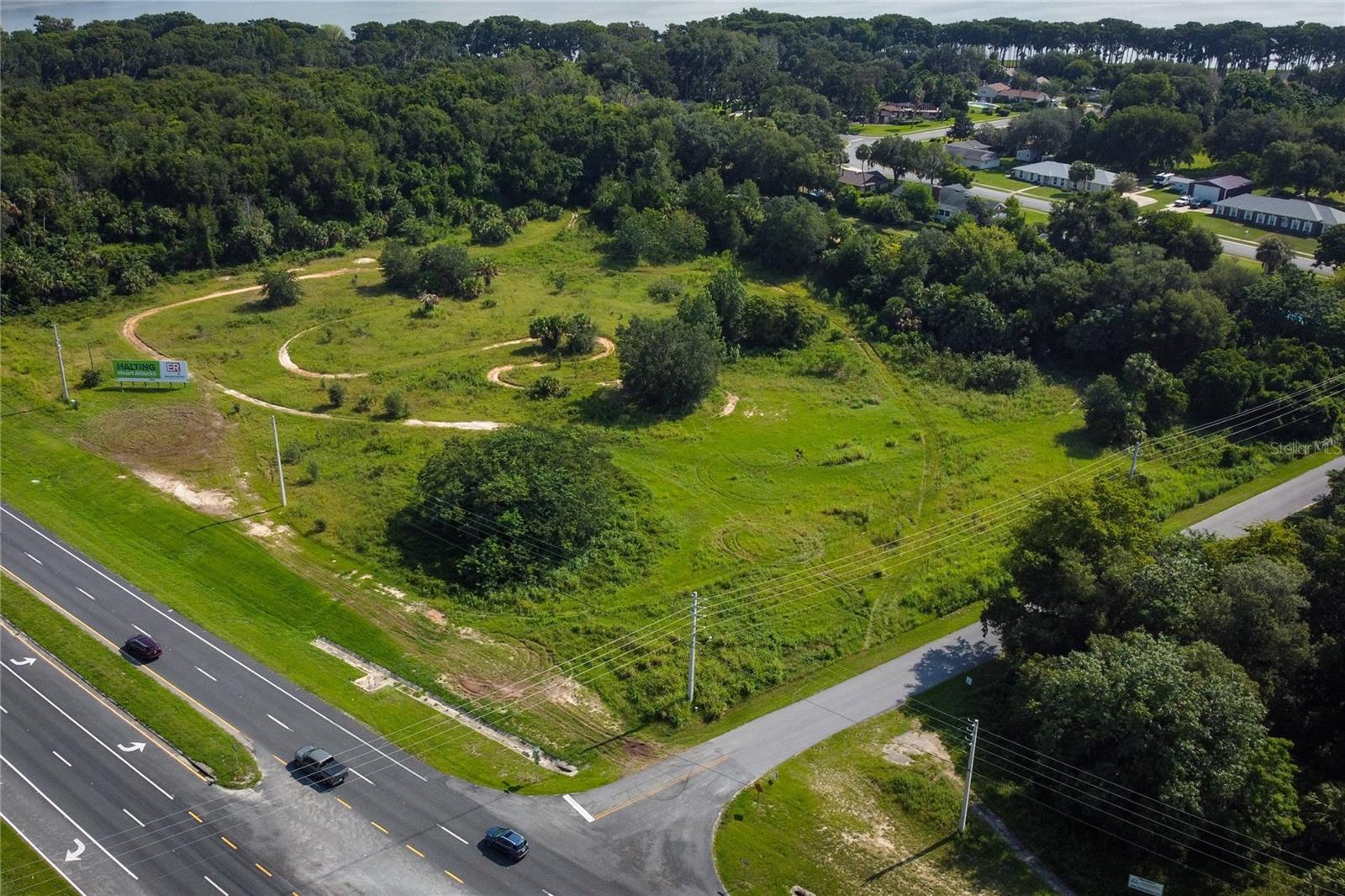
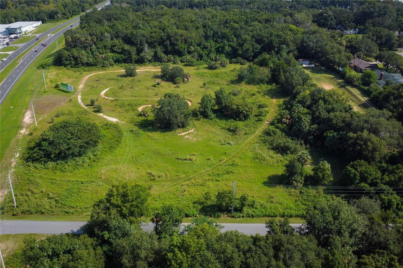
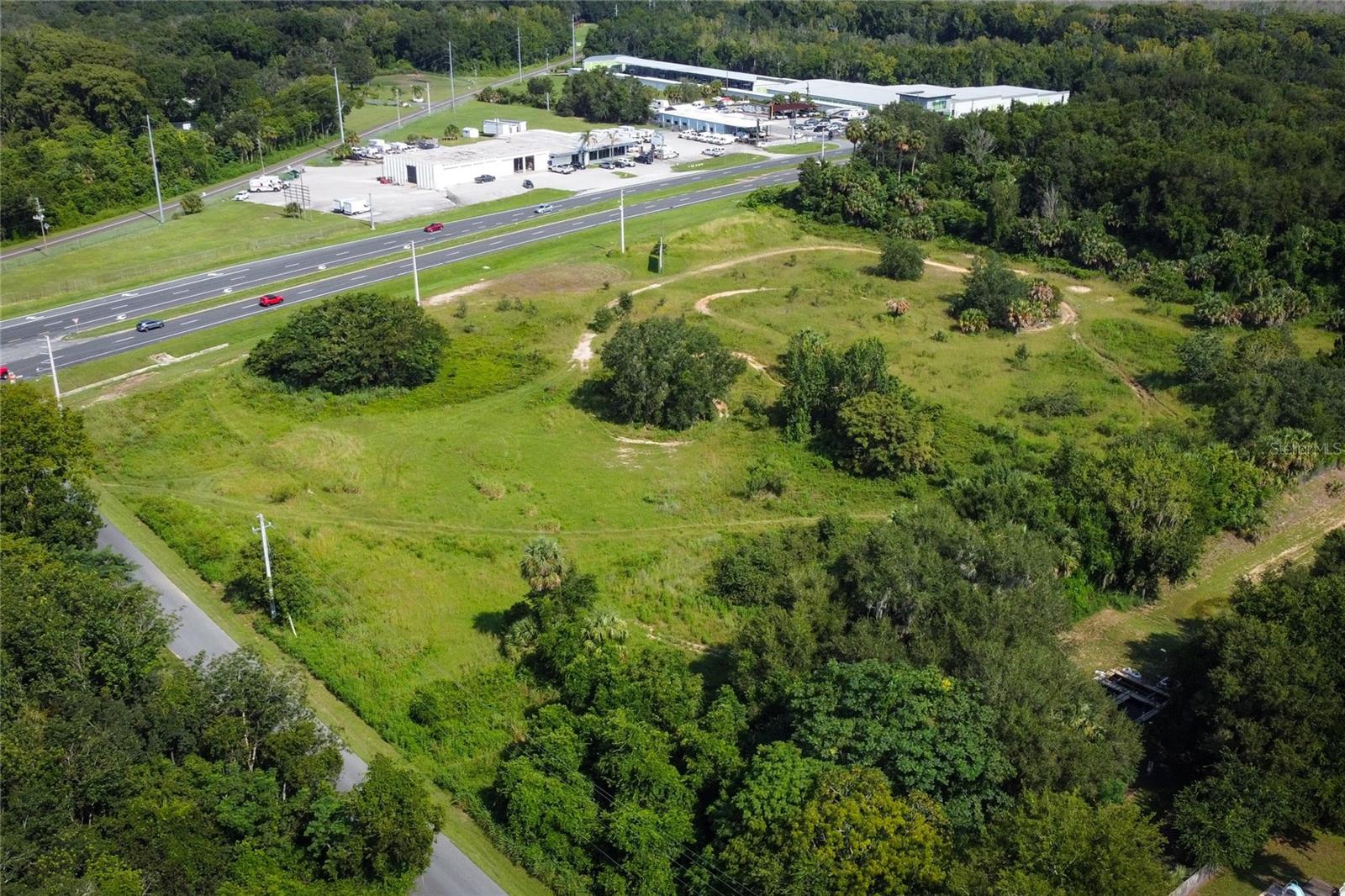
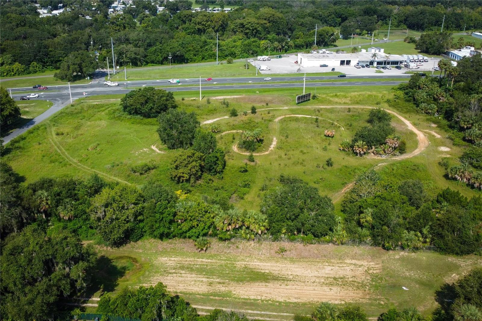
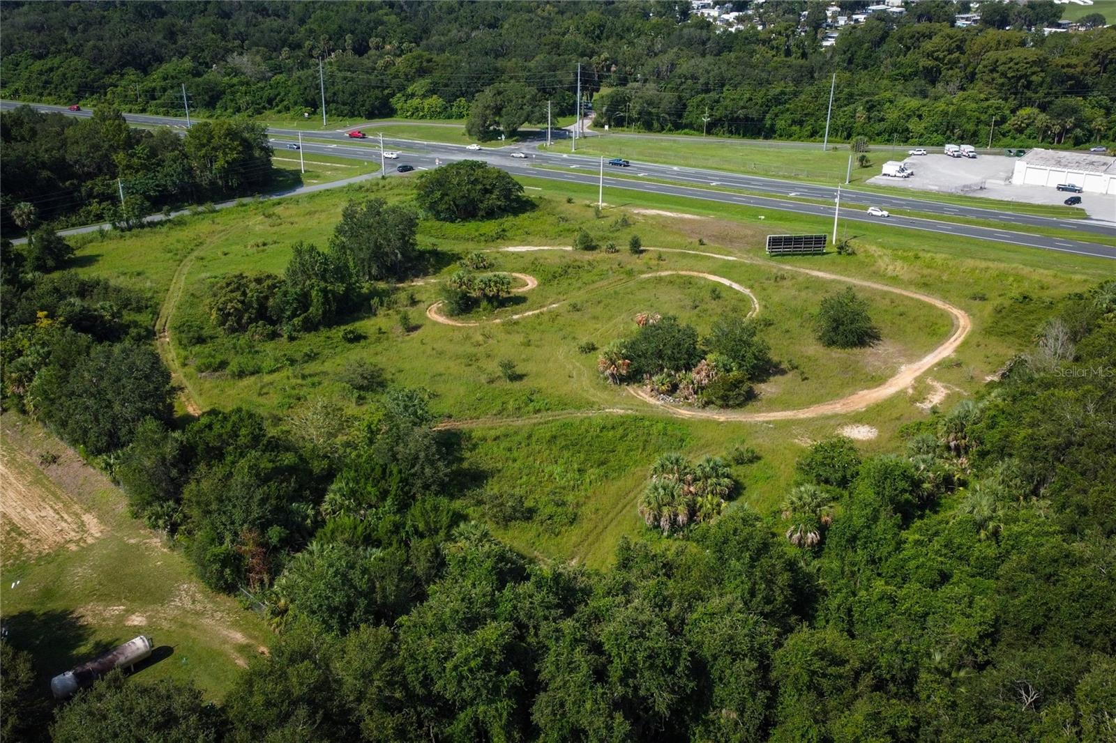
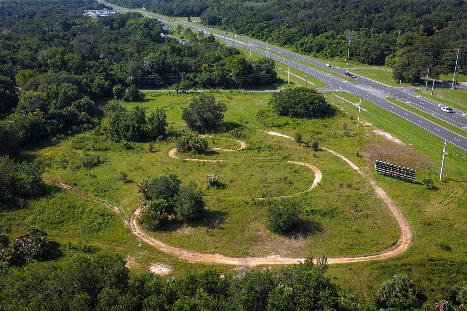
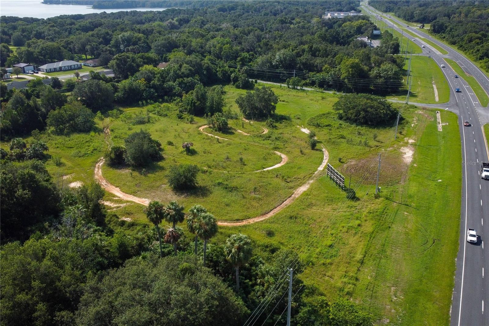
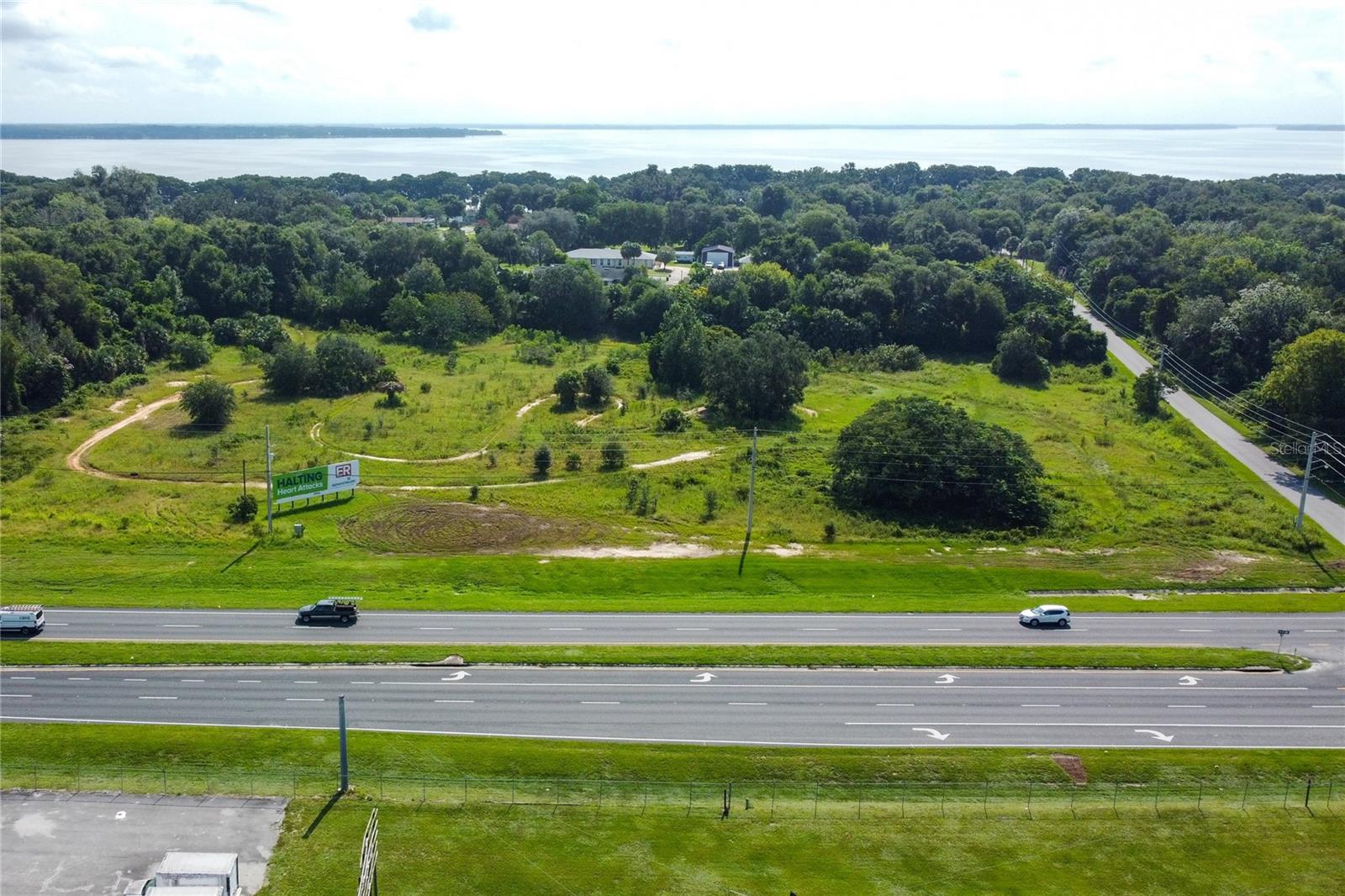
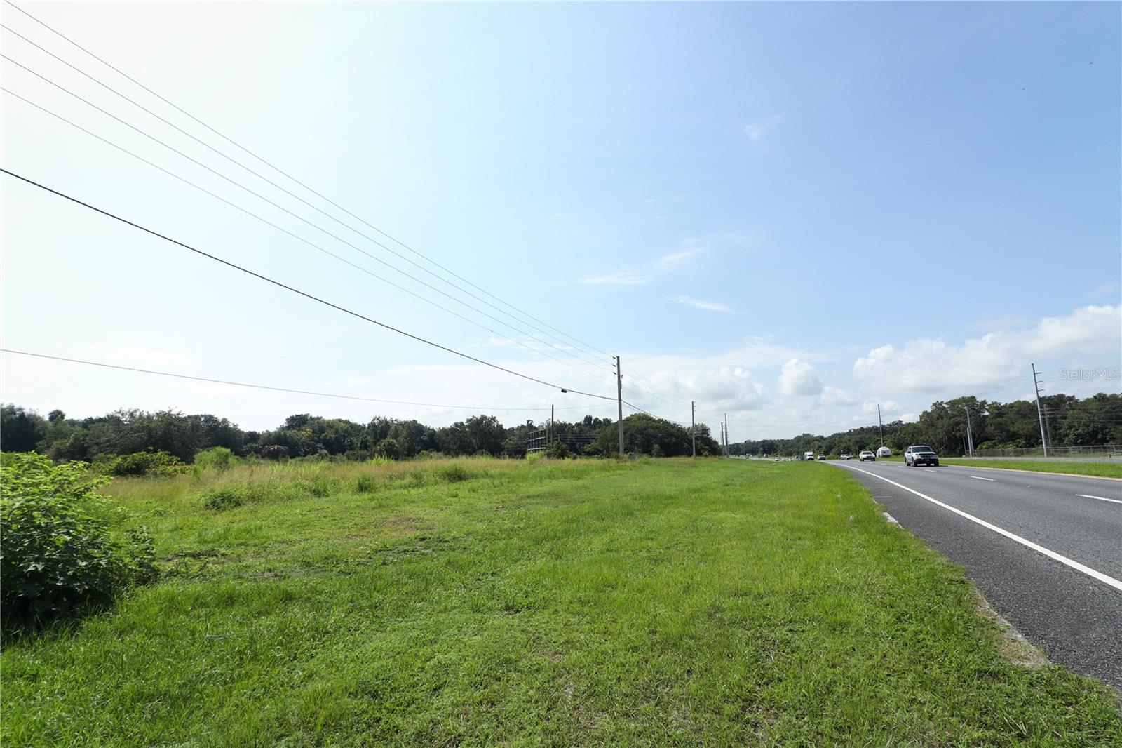
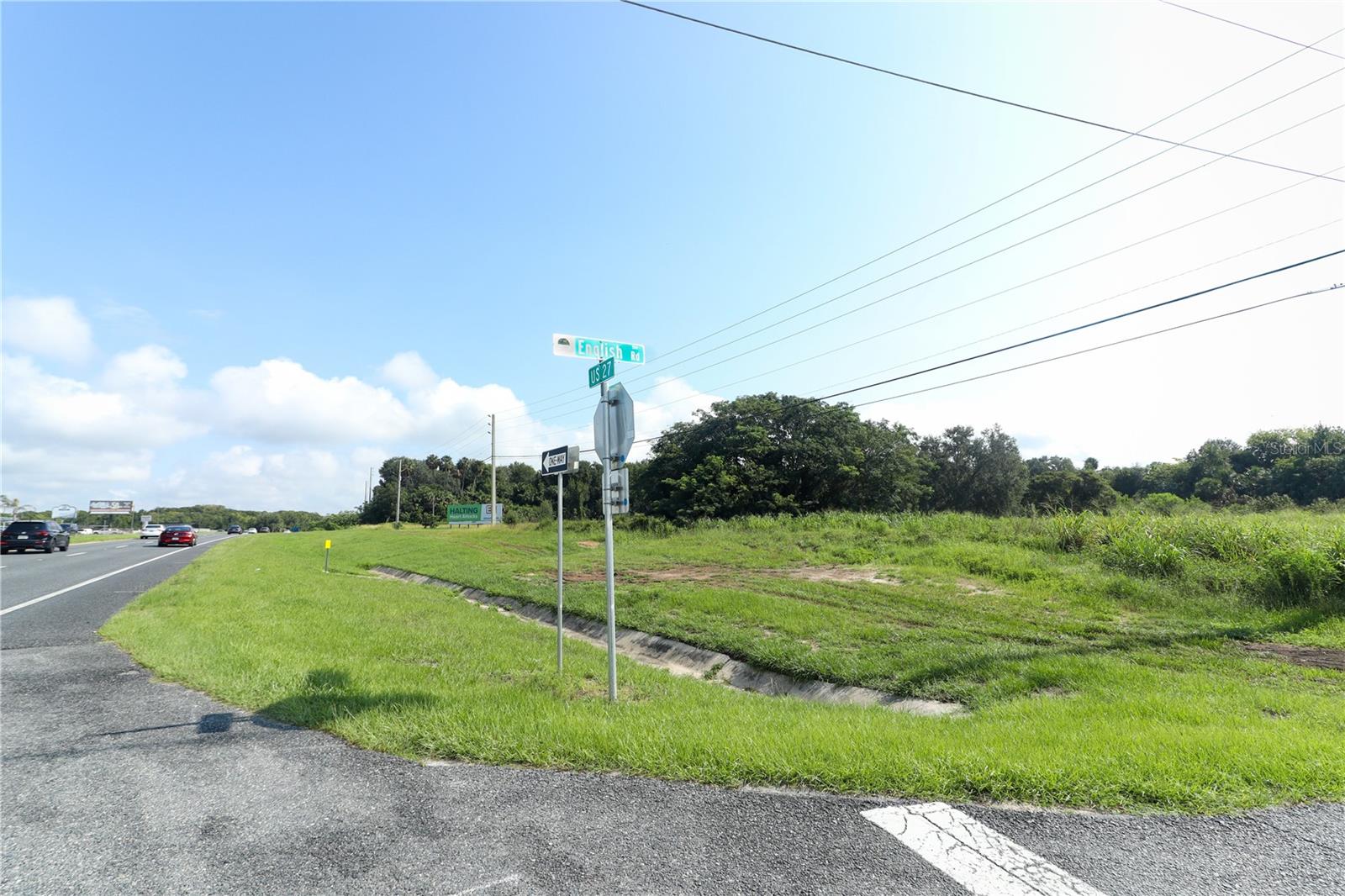
DescriptionApproximately 5 acres located directly off US27 on the edge of LEESBURG at the corner of US27 and ENGLISH ROAD
Payment Calculator
- Principal & Interest -
- Property Tax $
- Home Insurance $
- HOA Fees $
- Monthly -
Features
Building and Construction
- Covered Spaces: 0.00
- Living Area: 0.00
- Other Structures: Billboard
Land Information
- Lot Features: Buildable, Corner Lot, City Limits, Oversized Lot, Paved
Garage and Parking
- Garage Spaces: 0.00
- Open Parking Spaces: 0.00
Eco-Communities
- Water Source: None
Utilities
- Carport Spaces: 0.00
- Road Frontage Type: City Street, Divided Highway, Highway, State Road
- Sewer: None
- Utilities: Public, Water Nearby
Finance and Tax Information
- Home Owners Association Fee: 0.00
- Insurance Expense: 0.00
- Net Operating Income: 0.00
- Other Expense: 0.00
- Tax Year: 2022
Other Features
- Country: US
- Current Use: Unimproved
- Legal Description: FROM INTERSECTION OF 210 FT S OF S LINE OF GOV LOT 2 WITH E'LY R/W LINE OF US HWY 27 RUN S 88-14-56 E ALONG N'LY R/W LINE OF ENGLISH RD A DIST OF 200 FT FOR POB, CONT S 88-14-56 E 280.08 FT TO A POINT THAT IS 20 FT W OF MORNINGVIEW SUB PB 20 PG 20, N 0-0-0 W 20 FT W OF & PARALLEL TO SAID MORNINGVIEW SUB A DIST OF 94.35 FT, N 88-14-10 W 80.04 FT TO A POINT THAT IS 100 FT W OF W LINE OF SAID SUB, N 0-0-0 W PARALLEL TO & 100 FT W OF W LINE OF SAID SUB TO A POINT N LINE OF S 458.69 FT FROM S LINE OF 210 FT S OF S LINE OF GOV LOT 2, S 88-50-25 W 494.28 FT TO E'LY R/W LINE OF US HWY 27, THENCE SE'LY ALONG SAID E'LY R/W LINE OF US HWY 27 & A POINT ON A CURVE CONCAVE TO THE E, HAVING A CENTRAL ANGLE
- Area Major: 34748 - Leesburg
- Parcel Number: 02-20-24-0002-000-08000
- Possession: Close of Escrow
- View: Trees/Woods
- Zoning Code: CP
Nearby Subdivisions
Arbormere Sub
Clearwater Reserve Ph 2
Clearwater Reserve Ph I Sub
Estates At Sunnyside Sub
Haines Creek Heights
Lanier
Leesburg Kerls Add 02
Leesburg Newtown
Leesburg Pulp Mill
Leesburg School View
Leesburg Shademoor Acres Lts 0
Leesburg Sunnside Trails Ph 02
Leesburg Waitman Park
Magnolia Park Tr C
Majestic Oaks Landing
Mount Vernon
Palm Plaza
Royal Oak Estates Fifth Add
Silver Lake Estates
Silver Ridge Sub


